NATIONAL NEWS - The South African Weather Service (SAWS) have advised that a series of significant cold fronts are expected to affect the Western and Northern Cape from Monday to Friday.
The public and small stock farmers are advised that intermittent heavy downpours, snowfalls, very cold conditions, strong coastal and interior winds and very rough seas can be expected.
Weather warnings in effect for Tuesday through to Thursday, from SAWS:
A. Orange level 6 warning for disruptive rain leading to flooding and possible mudslides is expected over the City of Cape Town, Drakenstein and Stellenbosch municipalities in the Western Cape.
B. Yellow level 4 warning for disruptive rain leading to flooding and damage of roads and bridges is expected over the West Coast, northern parts of Cape Winelands and Western parts of Overberg districts in the Western Cape.
C. Yellow level 2 warning for damaging winds resulting in damage to property, difficult driving conditions and communication and power interruptions are expected over the Western and Central interior of the Eastern Cape.
D. Yellow level 4 warning for damaging winds are expected over the central and eastern parts of the Western Cape Provinces, the southern parts of Namakwa District Municipality in the Northern Cape resulting in damages to property, difficult driving conditions and communication and power interruptions, injuries due to flying debris.
E. Yellow level 4 warning for damaging winds and waves are expected between Port Edwards and Durban and between Lamberts Bay and cape Agulhas leading to disruption of small harbours and ports, risk to small and medium vessels of dragging anchors, danger to life from large waves along the coastal routes and coastal communities.
F. Orange level 6 warning for damaging winds and waves are expected between Plettenberg Bay and Port Edwards leading to disruption of small harbours and/or ports, risk to small and medium vessels of dragging anchors, danger to life from large waves along the coastal routes and coastal communities.
Warning for Thursday:
A. Orange level 8 warning for disruptive rain leading to flooding and possible mudslides is expected over the City of Cape Town, Drakenstein and Stellenbosch municipalities in the Western Cape on Thursday 11 July.
More snow can be expected:
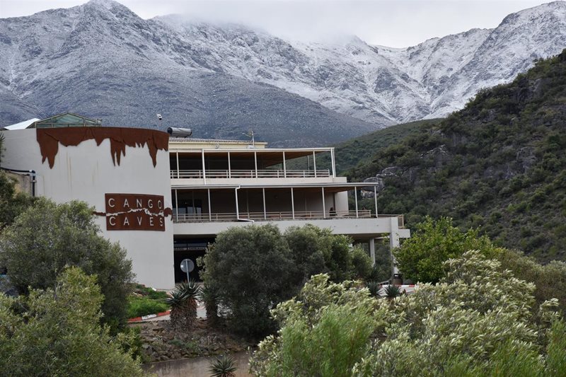
SA Snow Report states that significant snow has fallen across many parts of South Africa and Lesotho and more is expected on and off for the next five days.
Up to 15cm of fresh snow is possible for the Western Cape high-peaks today but anything low-level is likely to be very light (some low-level snow has fallen this morning already).
Swartberg Pass is closed
Swartberg Pass is currently closed due to unsafe, slippery road conditions.
Motorists should not attempt to make use of the Pass as the snow has turned into black ice and is extremely slippery and dangerous.
We are aware that some people want to go look at and experience the snow, but please do not use this road. Rather make use of alternative routes and drive safely.
 Photo: Oudtshoorn Courant
‘We bring you the latest Garden Route, Hessequa, Karoo news’